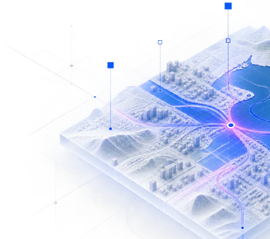


Urban Risk Intelligence
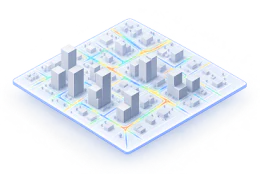
Understand which assets or locations need attention, why they matter and where prioritisation may be needed.
Explore URIRecode Earth is selected for FIERCE funding
Recode connects fragmented spatial data and context to help organisations understand places, assets and risk — and make more informed decisions.
Products
Two products in use today, and scenario studies on the same data.
Understand which assets or locations need attention, why they matter and where prioritisation may be needed.
Explore URI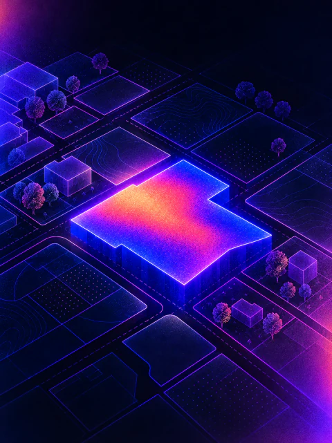
Explore suitable areas, understand parcel context, review planning information and assess development potential.
Contact us for details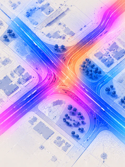
We work with customers to define the question, then design and run the simulations needed to explore possible outcomes and compare alternatives.
Discuss a scenarioHow we work
One method, built on data that can be reused.
01
Collect data about a place and attach it to parcels, buildings or other units.
02
Bring together the relevant spatial context, conditions and surrounding factors.
03
Compare options using shared context and relevant decision criteria.
04
Test how places could change under different scenarios.
05
Your step, with evidence behind it.
We apply the FAIR principles to everything we build, not only to the data we publish. Datasets, analyses and results are findable, accessible, interoperable and reusable. Every result is made for three kinds of user.
Through maps, reports and dashboards that make complex spatial information easier to understand, compare and use in real-world decisions.
Through APIs and open standards, so results fit into GIS, planning and asset-management systems.
Through structured, clearly described data that AI agents can find, read and use correctly.
The answer to a simple question depends on information held by different organisations, in different formats. We collect, align and structure these datasets so they can be reused for the next question.
Explore data sourcesParcel boundaryFrom the land registry
Development PlanFrom the local registry
Existing buildingsFrom building and 3D data
Roads and transportFrom networks and access data
Ground conditionsMeasured from reports
Environmental constraintsFrom flood and nature data
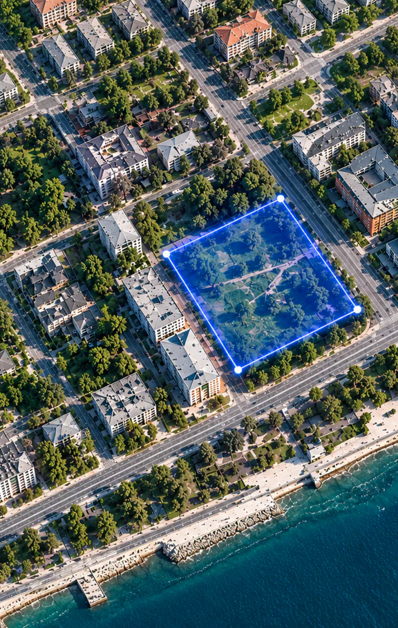
Instead of searching and matching the same data over and over, we bring these sources together into a single, consistent foundation.
Get in touch
Tell us what you're trying to understand about a place, asset or risk. We'll explore how Recode's spatial intelligence approach could support your use case.